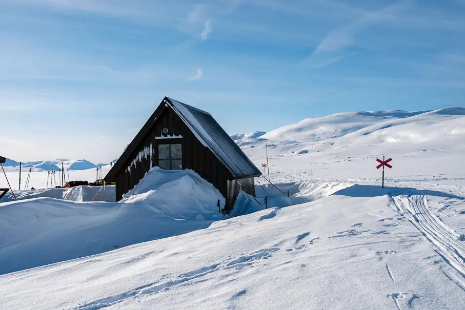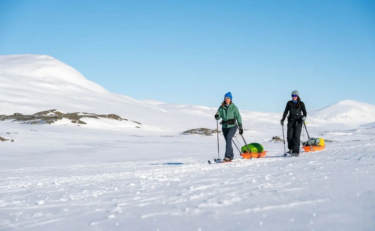
The King’s Trail takes you through the winter wilderness of Swedish Lapland. You trek from hut to hut, pulling a pulka behind you, following red crosses through birch forests and discovering a snowy mountain landscape where civilisation feels ever further away. But what does a trip like this actually involve? Below, you’ll find the Kungsleden stages between Abisko and Singi, with distances, walking times and places to stay. Start picturing where you’ll be walking, climbing and resting your legs.
The Kungsleden stages at a glance
You don’t need to know every single kilometer by heart before heading out, but having a good idea of what’s ahead is always nice. On The King’s Trail, you’ll cover five trekking stages between Abisko and Singi, adding up to 74.5 kilometers in total. From there, a snowmobile takes you further toward Kebnekaise and eventually Nikkaluokta.
The longest stage is 20 kilometers and the shortest is 12 kilometers. Keep in mind that distance doesn’t tell the whole story about how a day feels, as elevation changes and pulling your pulk also play a big part. Below are the estimated hiking times per stage excluding breaks, giving you a good feel for the rhythm of the trail.
- Abisko to Abiskojaure: 14 km, 4 to 5 hours of hiking.
- Abiskojaure to Alesjaure: 20 km, around 6 hours of hiking.
- Alesjaure to Tjäktja: 16 km, around 4.5 hours of hiking.
- Tjäktja to Salka: 12.5 km, around 4 hours of hiking.
- Salka to Singi: 12 km, around 4 hours of hiking.
The schedule below follows Group A. Group B hikes the exact same route, starting one day later from Abisko. You’ll find more details on how that works further down.
Day 1: arriving in Abisko
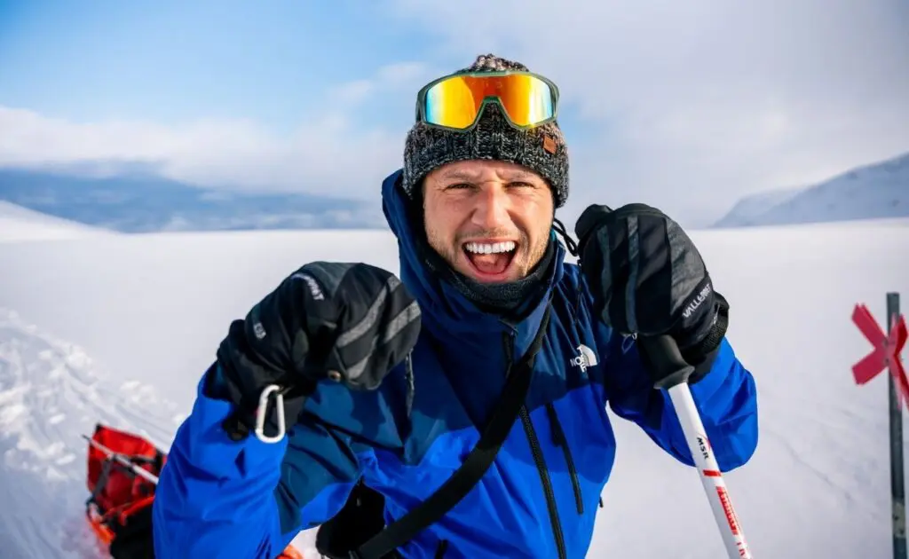
Your adventure begins at Kiruna Airport. From there, a bus takes you to Abisko in just over an hour, the official starting point of this trip. There’s no need to cover any distance with your pulka today. First, settle in, meet everyone and find out who you’ll be heading into the wilderness with over the coming days.
In Abisko, you receive your equipment and meet the guides. During a full briefing in the evening, they’ll talk you through the week ahead. It’s a good chance to ask questions and get to know your fellow travellers a little better. Your first overnight stay is at Abisko Turiststation. Tomorrow, the briefing gives way to the real thing.
Day 2: Abisko to Abiskojaure
14 km | 4 to 5 hours | 157 m ascent | 47 m descent
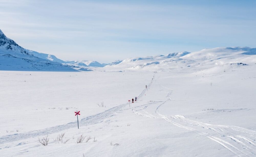
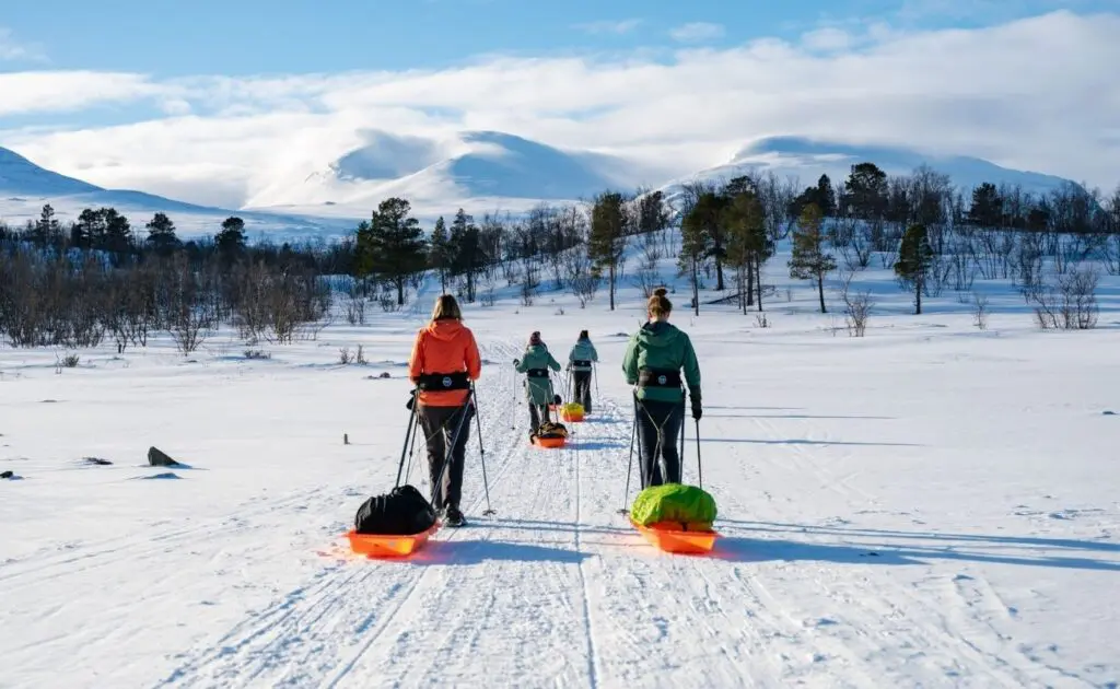
Rise and shine: today you pack your pulk and officially set off on The King’s Trail. You follow the Abiskojåkka river valley, weaving between mountain birch trees and rolling hills, with the red crosses marking the way. For now, the terrain along the river stays fairly flat, giving you time to get used to the sled gliding behind you.
That’s the beauty of this first stretch. You get plenty of time to find your rhythm before the trail starts to climb a bit. About halfway through, the path gently sloped upwards. After roughly 10 kilometers, the edge of the expansive Abiskojaure lake comes into view.
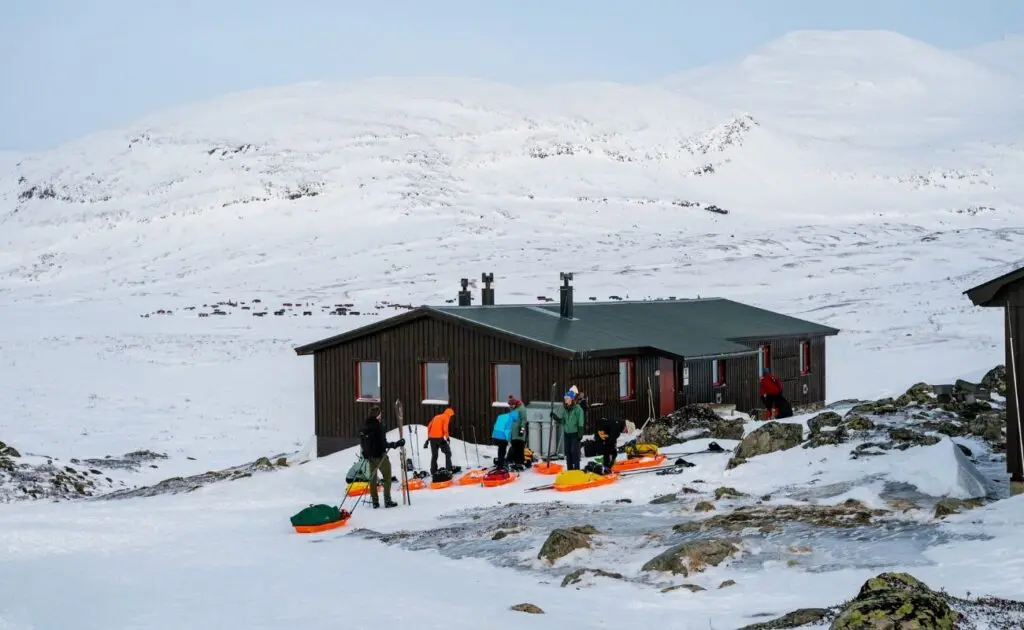
Your first hut sits on the opposite side. You’ll notice the surroundings changing, though your final stop isn't quite there yet. A few kilometers still remain before you can park your pulk. Once you do, your first day on the trail is wrapped up, and you’ll spend the night at Abiskojaure, surrounded by the landscape you just hiked through.
Day 3: Abiskojaure to Alesjaure
20 km | around 6 hours | 347 m ascent | 50 m descent
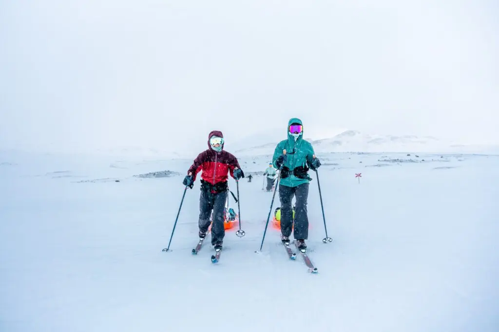
Today you head deeper into the wilderness. This is the longest and toughest of the five walking stages, so your legs will have some work to do. Over the first few kilometres, you climb gradually alongside the Kamajåkka river. Then you enter a bare, white mountain landscape: the fjäll.
Yesterday’s scenery gives way to open terrain. Your lunch spot? Right in the snow. No café terrace or busy street around you, just the mountains you’re making your way through. After the plateau, the route continues through the valley and Lake Alesjaure comes into view.
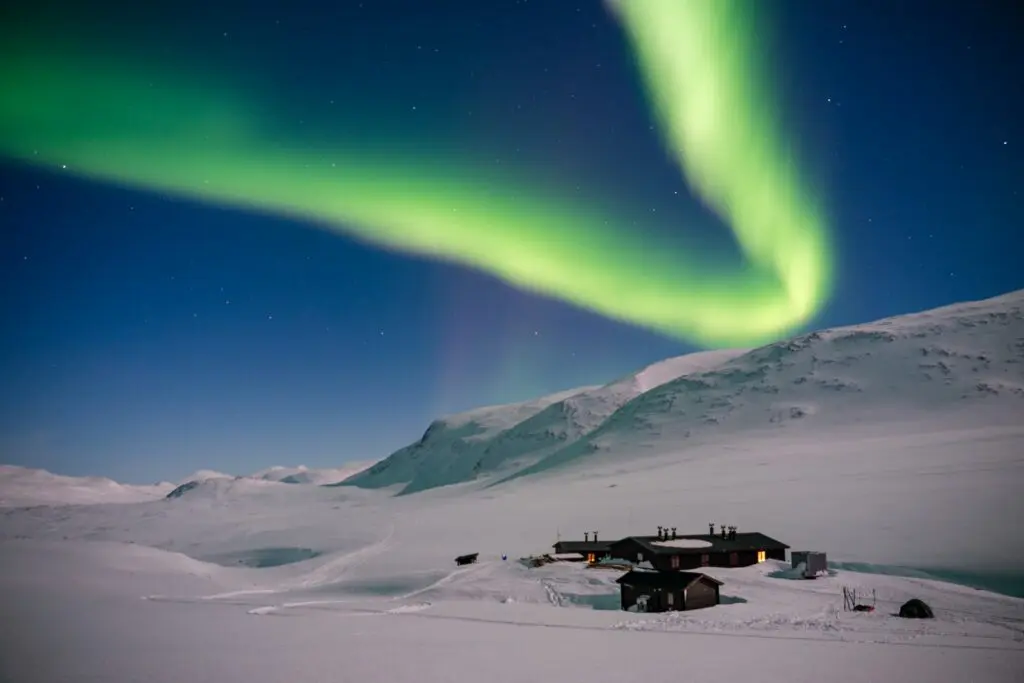
Seeing a lake here doesn’t mean you’ve arrived. From that point, it’s still around 8 kilometres along the shore to your destination. That final stretch is very much part of the day. When you arrive at Alesjaure, a warm drink awaits, and you can ease your tired legs in a traditional sauna. After 20 kilometres, that will probably sound even better than it does from behind your screen.
A quick introduction: what exactly is the fjäll?
On the way to Alesjaure, you enter the fjäll: the bare mountain landscape that defines so much of this trip. The small birch trees give way to an open, white expanse. A short word for a setting that can make you feel very small indeed.
Day 4: Alesjaure to Tjäktja
16 km | around 4.5 hours | 350 m ascent | 161 m descent
By now, your pulka is becoming familiar. Packing up, setting off and finding your rhythm: you’re getting the hang of it. Today’s route is shorter than yesterday’s, with a gradual climb towards the small Tjäktja hut.
For the first 10 kilometres, the winter route follows the eastern slope of the Alisvaggi valley. Near a reindeer herders’ hut, you leave the valley. The final 3 kilometres to Tjäktja are a little steeper. One last push before you reach your home for the night.
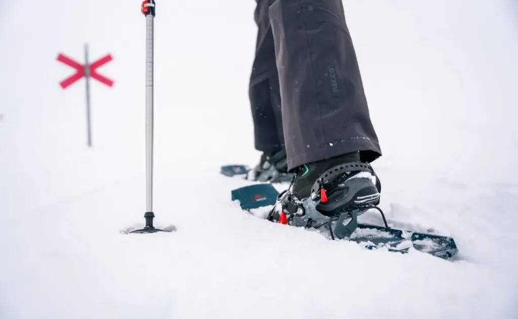
The hut stands beside a small but spectacular gorge, crossed by a bridge. It’s the kind of place where the sense of remoteness comes naturally. You really feel in the middle of nowhere here. Keep an eye on the red crosses along the way: on this stretch, it’s easy to accidentally take the wrong route over the pass. Soaking up the scenery is wonderful, but staying on the trail matters too.
Day 5: over the Tjäktja Pass to Salka
12.5 km | around 4 hours | 157 m ascent | 351 m descent
Today you tackle the Tjäktja Pass, the highest point on the Kungsleden. From the hut, the marked winter route climbs gradually. In good weather, you reach the pass in around an hour and a half.
At the top stands a small wooden shelter. But it’s the view south that really draws your attention: the vast Tjäktjajåkka valley stretches out before you. After the climb, you suddenly see the landscape you’ll be trekking through next. It’s a lovely moment to pause before beginning the descent.
From the shelter, you head downhill towards Salka. Once you reach the valley, a long, gentle descent leads to the hut. This stage covers fewer kilometres than the previous two days, with more descent than ascent. Tonight, you stay at Salka hut.
Day 6: Salka to Singi and onwards to Kebnekaise
12 km walking | around 4 hours | 53 m ascent | 157 m descent
From Salka, you head into the valley towards Singi. After yesterday’s pass, this stage feels a little easier: the terrain is mostly flat. You trek through a broad valley and may start spotting the first snowmobiles along the way.
Look into the side valleys too. They offer views of the impressive Kebnekaise massif, home to Sweden’s highest mountain. Even on this gentler walking day, there’s plenty to take in around you.
The walking part of the trip ends in Singi. Here, you switch to a snowmobile transfer, which takes you to Kebnekaise hut in around an hour. After all those kilometres under your own steam, it’s a very different way to travel through the snow.
Kebnekaise hut has more facilities than the huts along the trail: there’s a large restaurant, a bar and two saunas. A lovely place to celebrate your arrival and look back on the route you’ve just completed.
Days 7 and 8: heading home via Nikkaluokta
The walking stages may be over, but the adventure isn’t quite finished. On day 7, Group A heads out with the guides for a day hike around Kebnekaise. Group B walks the final stage from Salka to Singi that day. At the end of the day, a snowmobile transfer takes everyone to Nikkaluokta, where the two groups reunite.
There, you can unwind in the cosy bistro and spend one last night among the forests of Lapland. There’s no next stage to prepare for. Time to swap stories about that long day to Alesjaure, the view from the pass or the moment you finally found your stride with your pulka.
On day 8, a bus transfer of around an hour takes you to Kiruna Airport. There, you say goodbye to your fellow travellers. The trip is over, but names like Abiskojaure and Tjäktja now mean much more to you than they did when you were just reading a route description.
Group A or Group B: same route, different rhythm
You choose your group when booking. Group A heads straight onto the trail on day 2. Group B first walks a local loop around Abisko Turiststation and begins the route to Singi a day later. This means Group B stays one day behind Group A along the way.
Both groups complete the full walking route between Abisko Turiststation and Singi and spend the same number of nights in huts and mountain stations. On day 7, Group A explores the area around Kebnekaise with the guides, while Group B completes the final walking stage. Everyone reunites in Nikkaluokta. The groups are kept deliberately small, for both a friendly atmosphere and safety.
Staying on the Kungsleden: warm, simple and remote
The sight of a hut after a day in the snow soon becomes something special. On this trip, you sleep in wilderness huts maintained by the Svenska Turist Föreningen. Don’t expect a hotel room, but a simple place that fits perfectly into the landscape you’re trekking through.
The huts have a wood-burning stove, a shared kitchen and sleeping areas with bunk beds. There’s also an emergency phone, as there’s no mobile reception here. Some huts have a small shop selling essentials. Useful for topping up supplies, but not something to rely on for all your food and snacks.
There’s usually no electricity or running water. You collect water from a hole in the ice near the hut. Suddenly, an everyday task becomes part of your adventure. First, head outside to fetch water, then return to the warmth of the stove: life hardly gets simpler.
That’s exactly what gives the Kungsleden stages their own rhythm. By day, you’re out on the trail; in the evening, you share the hut with your fellow travellers. Your destination is more than a name on the route: it’s where you warm up and rest for the next day.